
apn 066-090-23

Gerlach, NV 89412

$269,000

160 AC LOT
Land
Image 1: Image-1
Image 2: Image-2
Image 3: image 3
Image 4: Image-4
Acreage 160
Status Active
MLS # 260009483
County Washoe
More Info
Category Land
Status Active
Acreage 160
MLS # 260009483
County Washoe
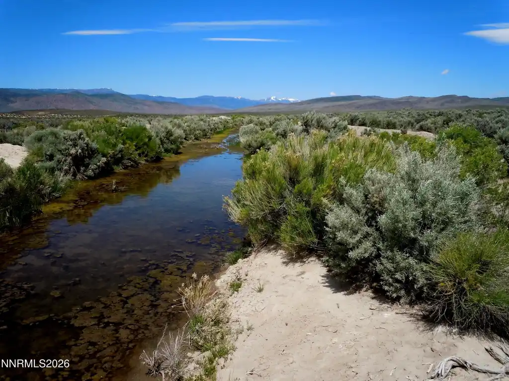
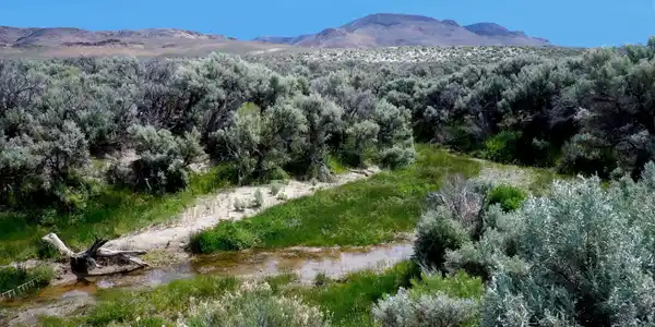
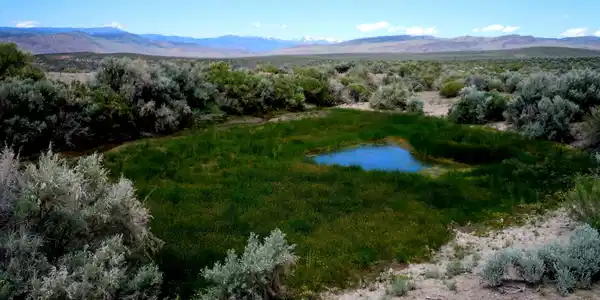
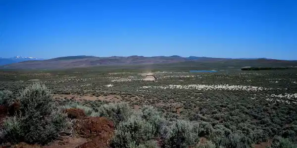
ABOUT AN HOUR AWAY FROM BLACK ROCK (BURNING MAN SITE) Seller has researched and made the following statement: 160 ACRE PATENTED LAND WASHOE COUNTY, NEVADA 100 percent MINERAL RIGHTS/CHRRY CREEK FRONT/OPALS! This patented property represents true and ultimate land ownership, supreme to that of the U.S. Government!, This ultra-rare patented 160 acre (almost seven million square foot) square-shaped homestead lot, containing what is very likely a gold mine, lies in the beautiful northwest corner of Nevada in Washoe County; a very friendly and unspoiled part of the state. It is an extremely desirable property that is completely surrounded by 20,434 acres of BLM public land so nobody can build next to you and this additional public land is at your disposal for recreational purposes! There are gorgeous views in every direction including mountain, valley, canyon and reservoir panoramas. Cherry Creek (3,207 feet of it) winds through the property, as does an abandoned canal measuring 1,616 feet that leads, to Lower Wall Canyon Reservoir. Delightful wildlife and plants wait to be admired at the creek, canal and other points of interest. There is no easement for the canal or earthen dam although a nearby landowner offered to purchase one. The deed bundle is completely intact since the day it was made patent by President Woodrow Wilson in 1914. It is the oldest patent in the vicinity meaning that this land was the first choice of the original landowner, Harry M. Barron. In addition, there is a 61 X 45 foot pond where a tributary meets the creek. There is a well near the center of this gorgeous parcel where the original homestead structure once stood that still produces water. Old wagon trails, which show up on an original 1880 survey map, crisscross this land and one of them leads directly to the mineshaft. Native American artifacts are scattered nearly everywhere. Legal Description: The North ½ of the Southwest ¼ and the South ½ of the Northwest ¼ of Section 15, Township 37 North, Range 19 East, Mount Diablo Base and Meridian, according to the Official Records on file in the Office of the County Recorder of said Washoe County, Nevada. Size: 160 acres (6,969,600 Square Feet) Surveyed and Staked Please note the 2016 listing/sales info provided by some of the 2nd party agencies are erroneous or inaccurate. The Washoe County Assessor or Recorders site will have more accurate information.
Listing
Street
Satellite

Exterior Features

  • Construction Single Family
  • Garage No
  • Water None
  • Sewer None
  • Lot Description Adjoins BLM/BIA Land, Open Lot, Wooded, Corners Marked

Neighborhood & Schools

  • Elementary School Out of Area
  • Middle School Out Of Area
  • High School Out Of Area

Financial Information

  • Parcel ID 066-090-23
  • Zoning Gr

Listing Information

Listing Provided Courtesy of Realty One Group Eminence
The data for this listing came from Northern Nevada Regional MLS
Listing data is current as of 08/14/2026.

Contact Our Agent

By clicking “Submit,” I agree to be contacted by Lake Homes Realty, LLC, its affiliates, and real estate professionals via call, text, and email for real estate services. This includes by automated means, even if your number is on a federal, state, or our internal Do Not Call list. To opt out, you can reply "stop" at any time or reply "help" for assistance. You can also click the unsubscribe link in the emails. Message and data rates may apply. Message frequency may vary. You also agree to our Terms of Use and Privacy Policy.